
Explore Istanbul public transport from Kadikoy. Plan metro, Marmaray, ferry, tram and airport connections with official timetables.
To get around Istanbul by public transport, choose your crossing between the two sides first and then the connection to your destination. From Kadikoy, compare a ferry to Karaköy or Eminönü with Marmaray from Ayrılık Çeşmesi. Check your return route before setting out.
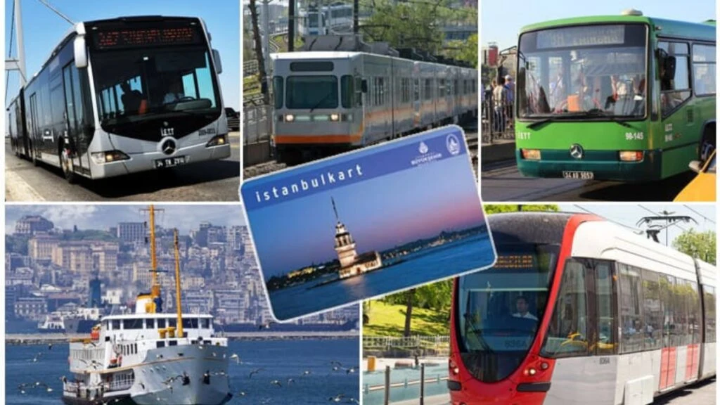
Istanbulkart and ferry routes
Istanbulkart
Istanbulkart is the payment card used on much of the city’s transport, including metro, ferries, trams, buses and Marmaray. Check the official Istanbulkart site for top-up and card options. Transfer benefits and fares can depend on the card and service you use.
Kadikoy–Karaköy–Eminönü ferry
Şehir Hatları ferries from Kadikoy to Karaköy and Eminönü give you two useful starting points on the European side. Get off at Karaköy to go uphill towards Galata, or use Eminönü for the Spice Bazaar and the T1 tram. Check the operator as well as the pier on the way back.
Kadikoy–Karaköy–Eminönü ferry · Current details
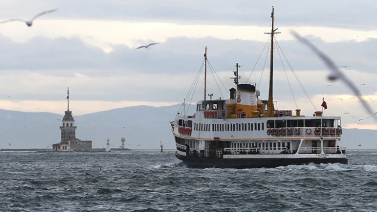
Ferries from Üsküdar
For a sailing from Üsküdar towards Karaköy or Eminönü, check the list of intermediate stops as well as the destination. The ferry and Marmaray entrances are in the same waterfront area in Üsküdar. If weather or a timetable change rules out the boat, Marmaray to Sirkeci is an alternative for the Historic Peninsula.
Beşiktaş ferries
Beşiktaş has separate ferry services towards Kadikoy and Üsküdar. It is a useful arrival point for Dolmabahçe or Yıldız Park. Operators can use different piers and timetables, so settle on your return route while planning the outward journey.
Golden Horn ferry
A Golden Horn ferry lets you reach neighbourhoods around Fener and Balat and continue towards Eyüpsultan. Map the walk from the pier to the street or museum you want to see. Use the operator’s timetable on the day, since individual sailings can have different calls.
Princes’ Islands ferries
For a Princes’ Islands trip, first choose an island such as Büyükada or Heybeliada, then find a sailing from Kadikoy, Bostancı or the European side. Routes vary by operator and season. Keep one return sailing in mind before the last boat of the day.
Metro lines and Marmaray
M2
The M2 runs from Yenikapı through Taksim, Osmanbey and Levent. Use Osmanbey for the Nişantaşı area and Taksim for İstiklal Avenue. Yenikapı connects to Marmaray and Gayrettepe to the M11 airport line. Allow time for the walk at Gayrettepe, especially with luggage.
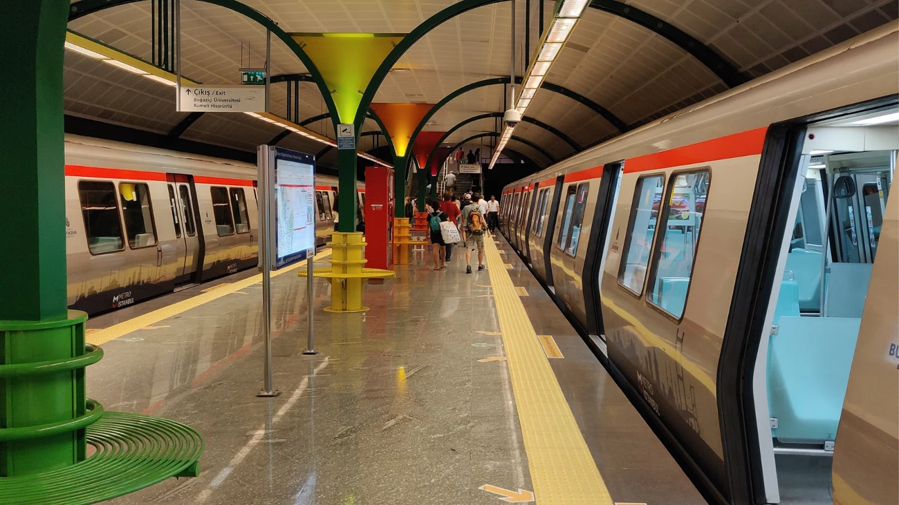
M4
The M4 serves Kadikoy, Ayrılık Çeşmesi and Sabiha Gökçen Airport. From the airport, choose Ayrılık Çeşmesi for Yeldeğirmeni or stay on to Kadikoy for the market and ferries. On your way back, check the flight code Sabiha Gokcen Airport (SAW) before committing to the airport route.
M1A
The M1A links Yenikapı with the Esenler coach terminal at Otogar. The line still has a station named Atatürk Havalimanı. For a flight from the present Istanbul Airport (IST), plan for the M11 or the relevant airport coach.
M7
Metro Istanbul lists the M7 between Yıldız and Mahmutbey. Mecidiyeköy connects with the M2 and Metrobüs. For Kabataş, the airports or Kadikoy, check the operator’s current stop list and build in the onward line you need.
M11
The M11 between Istanbul Airport and Gayrettepe is the rail option for Istanbul Airport (IST) on the European side. For Kadikoy, change to the M2 at Gayrettepe and to Marmaray at Yenikapı. Check the final connection as well as the airport departure if you are landing late.
Marmaray
Marmaray is the suburban railway under the Bosphorus. Sirkeci serves the Historic Peninsula, while Üsküdar and Ayrılık Çeşmesi are useful on the Asian side. For Kadikoy, change to the M4 at Ayrılık Çeşmesi or walk towards Yeldeğirmeni. Check the train’s destination if you are continuing farther east.
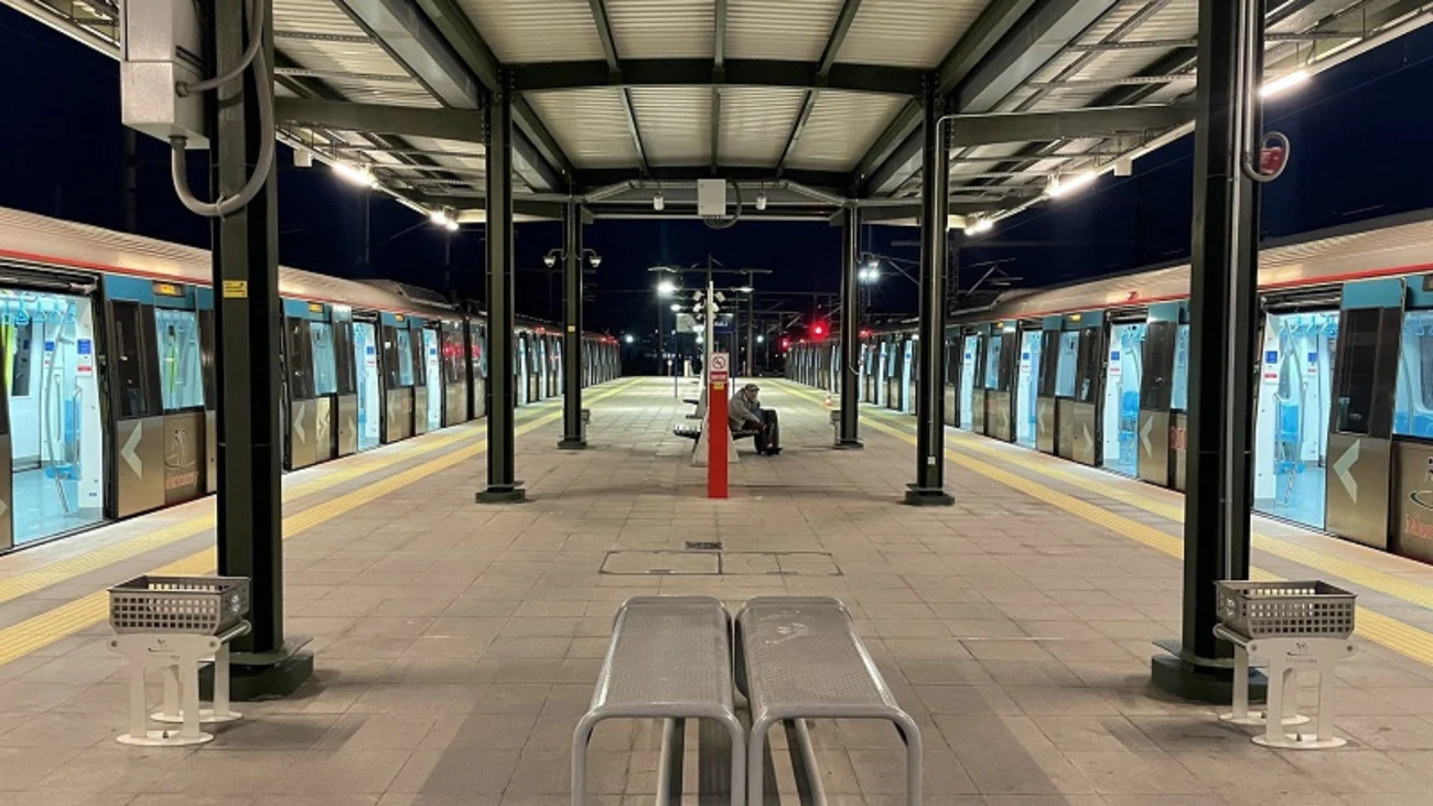
Trams and funiculars
T1
The T1 tram joins Sultanahmet, Gülhane, Eminönü, Karaköy and Kabataş. From the Kadikoy ferry you can change at Karaköy or Eminönü. Get off at Sultanahmet for Hagia Sophia and the Basilica Cistern, or continue to Beyazıt for that side of the Grand Bazaar.
T3
The T3 heritage tram loops through central Kadikoy and Moda. It is useful for short hops around Bahariye and the residential streets of Moda. If you are going to the waterfront, check how far downhill your destination is from the stop. The tram may be more useful on the return uphill.
F1 · F2 · F4
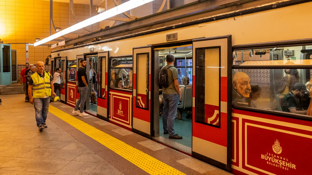
Istanbul’s funiculars cover different hills. The F1 links Taksim and Kabataş, the historic Tünel or F2 links Karaköy and Beyoğlu, and the F4 runs between Boğaziçi University and Aşiyan. Use the line code when planning an onward ferry or tram, since each ends in a different part of the city.
F1 · F2 · F4 · Current details
Plan your ferry back
The Şehir Hatları winter timetable for 2026–27 lists night sailings on the Kadikoy–Karaköy–Beşiktaş route on Friday and Saturday nights. Check the departure, stop pattern and any service notices on the day.
Planning metro and ferry connections
To use public transport in Istanbul, enter the departure and destination addresses in an official route planner and check station exits as well as lines. Metro and ferry connections require a separate walk to the correct pier. Choose a ferry or Marmaray between the Asian and European sides according to the final address. Your Istanbul transport plan should also include card conditions, last departures and the return connection.
Airports and daily routes
For Sabiha Gokcen Airport (SAW), compare M4, Havabus and current Istanbul’s municipal bus operator (İETT) routes. For Istanbul Airport (IST), compare M11 and Havaist. Our Kadikoy arrival guide covers the final approach to Va. Plan around luggage, last departures, weather and traffic; night service varies by line.